Lunar Mineral Rights secured by Dr. Joseph Resnick, Lt. Col. Timothy R. O'Neill, Ph.D. (U.S. Army, Ret.) and Guy Cramer

by Guy Cramer

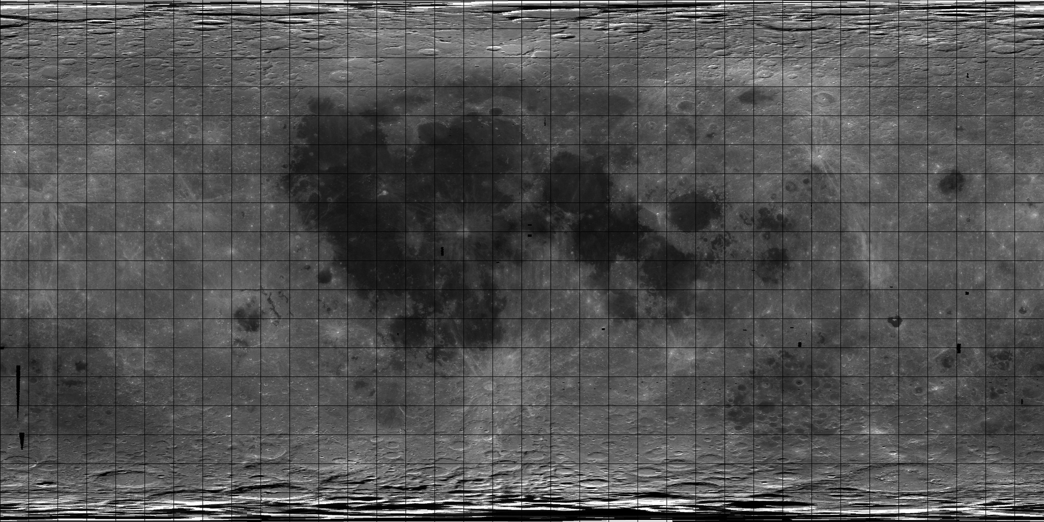
A loophole in Space Law allows individuals and companies to hold Mineral Rights on the Moon, Mars and other celestial bodies. Growing concern from Scientists that these rights may be held hostage have been alleviated by a three man North American team; Dr. Joseph Resnick, Dr. Timothy R. O'Neill and Guy Cramer (ROC-Resnick/O'Neill/Cramer team) who have acquired the mineral rights for 95% of the side of the moon that faces Earth, the polar regions and 50% of the far side of the moon.

After setting aside 8.9 million acres around Apollo 11 Lunar landing site and designated as a "World Heritage Site". The ROC team announced that it was holding more than 75% of the Lunar Mineral rights to allow for the extraction of Helium-3 and other minerals for the advancement of Space Exploration, Earth and Space Sciences and safer more efficient energy production.  

With the mineral rights secured, the ROC team wants to oversee the extraction process for He3 and other minerals for any robotic or human ventures to obtain these materials to ensure the Moon doesn’t become a series of scared surface mines visible from Earth or future lunar orbiting space stations. Visual Mitigation will be a priority so that the expected large scale strip mining doesn’t turn the moon into an eyesore for the rest of us.

ROC has secured the mineral rights to the following sites on the Moon; the first region is designated as a preserve.


Moon (Lunar) Park

Mare Tranquillitatis - Sea of Tranquility

Apollo 11 Landing Site Preserve

World Heritage Site

-21.1°E - 25.8°E
2.7°N - 1.3°S

  21.1°E 25.8°E  
2.7°N 2.7°N
1.3°S 1.3°S
  21.1°E 25.8°E  

Image Statistics:

Image size = 256 rows by 297 columns.

Resolution = 64.0000 pixels per degree (true at the equator).
Scale = 0.4738 kilometers per pixel (true at the equator).


Near Side (Helium-3 / Exploration) Region
260.0°E - 100.0°E
86.4°N - 85.9°S
Near Side
  260.0°E 100.0°E  
86.4°N 86.4°N
85.9°S 85.9°S
  260.0°E 100.0°E  
 This image is resized for internet viewing - click on image for full scale as it corresponds with the information below

Image Statistics:

Image size = 2757 rows by 3200 columns.

Resolution = 16.0000 pixels per degree (true at the equator).
Scale = 1.8952 kilometers per pixel (true at the equator).

Projection = sinusoidal.
Stretch = auto.

Top Latitude = 86.4 degrees north.
Bottom Latitude = 85.9 degrees south.

Right Longitude = 100.0 degrees east.
Left Longitude = 260.0 degrees east
 

Lunar North Polar Claim
180°E - 180°E
90.0°N - 86.5°N
  180.0°E 180.0°E  
90.0°N 90.0°N
86.5°N 86.5°N
  180.0°E 180.0°E  
 This image is resized for internet viewing - click on image for full scale as it corresponds with the information below

Image Statistics:

Image size = 265 rows by 1665 columns.

Resolution = 75.7500 pixels per degree (true at the equator).
Scale = 0.4003 kilometers per pixel (true at the equator).

Projection = sinusoidal.
Stretch = auto.

Top Latitude = 90.0 degrees north.
Bottom Latitude = 86.5 degrees north.

Right Longitude = 180.0 degrees east.
Left Longitude = 180.0 degrees east
 

Lunar South Polar Claim

180°E - 180°E
85.8°N - 90.0°N
  180.0°E 180.0°E  
85.8°S 85.8°S
90.0°S 90.0°S
  180.0°E 180.0°E  

 This image is resized for internet viewing - click on image for full scale as it corresponds with the information below

Image Statistics:

Image size = 322 rows by 2021 columns.

Resolution = 75.7500 pixels per degree (true at the equator).
Scale = 0.4003 kilometers per pixel (true at the equator).

Projection = sinusoidal.
Stretch = auto.

Top Latitude = -85.8 degrees south.
Bottom Latitude = 90.0 degrees south.

Right Longitude = 180.0 degrees east.
Left Longitude = 180.0 degrees east

 
Moon - South Pole-Aitken (SPA) basin
125.0°E - 235.0°E
14.2°S - 85.8°S
 
  125.0°E 235.0°E  
14.2°S 14.2°S
85.8°S 85.8°S
  125.0°E 235.0°E  

 This image is resized for internet viewing - click on image for full scale as it corresponds with the information below


Image Statistics:

Image size = 1146 rows by 1706 columns.

Resolution = 16.0000 pixels per degree (true at the equator).
Scale = 1.8952 kilometers per pixel (true at the equator).

Projection = sinusoidal.
Stretch = auto.

Top Latitude = -14.2 degrees south.
Bottom Latitude = 85.8 degrees south.

Right Longitude = 235.0 degrees east.
Left Longitude = 125.0 degrees east

 
Moon - Icarus (Far Side Reserved area for Tele-RadioScope) Region
170.0°E - 190.0°E
10.0°N - 10.0°S
 
  170.0°E 190.0°E  
10.0°N 10.0°N
10.0°S 10.0°S
  170.0°E 190.0°E  

Image Statistics:

Image size = 320 rows by 320 columns.

Resolution = 16.0000 pixels per degree (true at the equator).
Scale = 1.8952 kilometers per pixel (true at the equator).

Projection = sinusoidal.
Stretch = auto.

Top Latitude = 10.0 degrees north.
Bottom Latitude = 10.0 degrees south.

Right Longitude = 190.0 degrees east.
Left Longitude = 170.0 degrees east

 
Lunar Mineral Claim- Privately held - Owner wishes to remain anonymous at this time

This is the only region on the near side of the lunar surface outside of the ROC claims

Moon - Lacus Somniorum "Lake of Dreams"
 
20.8°E - 39.2°E
44.0°N - 32.0°N
 
 
  20.8°E 39.2°E  
44.0°N 44.0°N
32.0°N 32.0°N
  20.8°E 39.2°E  
 

Image Statistics:

Image size = 192 rows by 251 columns.

Resolution = 16.0000 pixels per degree (true at the equator).
Scale = 1.8952 kilometers per pixel (true at the equator).

Projection = sinusoidal.
Stretch = auto.

Top Latitude = 44.0 degrees north.
Bottom Latitude = 32.0 degrees north.

Right Longitude = 39.2 degrees east.
Left Longitude = 20.8 degrees east

The following shows all Lunar Parks, Preserves and ROC claims (not under park status) Click image to enlarge. 


On January 14, 2004 U.S. President Bush announced a new vision for NASA that incorporated a human return to the Moon by 2020, follow-on exploration of Mars and other destinations.

A recent meeting of some 200 scientists from 17 countries expects "lunar landers cooperating into an international lunar robotic village before 2014", evolving technologies for human-tended missions that prepare the ground for an "effective, affordable human lunar exploration and permanent presence by 2024."

The ROC team is expected to work with NASA's Moon-Mars and Beyond Initiative and International Space Agencies to set aside specific regions of interest for potential; landing, launch, habitat, exploration, environmental, communication, experimentation, industrialization and commercialization sites  

With key areas now obtained and protected by the ROC team, the public now has access of the Universal Mineral Leases Registry for acquisition of mineral rights to other areas on the Moon, Mars and Beyond.

Go Here for the teams Mars Mineral Claims

References:

Large areas of Mars now protected from future commercialization
This effort constitutes the first-of-a-kind "Extraterrestrial Nature Preserve" established by human beings and sanctioned by the owners of the mineral rights located in the Mars regions.
By Guy Cramer

There’s Helium-3 in them there Moon hills!
Moon can be mined for abundant Helium-3 to be used in Fusion Reactors on Earth and Space.
By Guy Cramer

Future Lunar Based Observatory Site Protected
Located at the exact middle of the opposite side of the moon the base may one day become home to the most powerful telescopic, radio, gamma ray… observatories in human history.
By Guy Cramer

Mars Mineral Rights secured by Resnick, O'Neill and Cramer
Mars mineral rights locations mapped
By Guy Cramer

http://www.lepp.cornell.edu/~seb/celestia/moon-pds2k.jpg

This material and compilation of images is Copyright © 2007 by Joe Resnick, Timothy R. O'Neill and Guy Cramer, All Rights Reserved.
"ROC" is a trademark of  Joe Resnick, Timothy R. O'Neill and Guy Cramer, All Rights Reserved.
This material cannot be reproduced in any form without the expressed written permission of the Author. Whole Copies may be printed for personal use; no changes are to be made to the content, names or references.

Hit Counter